

How do we know how California's wetlands are doing?
WETLAND AND RIPARIAN AREA ASSESSMENT PLAN TOOL KIT Comprehensive assessments of wetland health in California are challenging because standardized tools to evaluate the diversity of wetland types have never existed. The WRAMP (Wetland and Riparian Area Assessment Plan) was launched in 2010 to create standardized assessments of wetlands throughout California. WRAMP seeks to create a consistent approach to wetland classification, mapping, and monitoring that will allow for statewide assessments of wetland extent and condition.
- Californa Wetland Monitoring Workgroup - "Tenets of a State Wetland and Riparian Monitoring Plan" (WRAMP).
What is the WRAMP tool kit?
California’s WRAMP Toolkit consists of standardized mapping and assessment methods that provide a comprehensive assessment of wetland extent and ecological integrity for the wetland within the context of the surrounding watershed. Assessments are conducted at three levels:

(click to enlarge)
Uses remote sensing data and field surveys to inventory wetlands. The California Aquatic Resources Inventory and the National Wetlands Inventory are examples of Level 1 assessments.

(click to enlarge)
Uses visible field diagnostics and existing data to assess conditions. CRAM is an example of a Level 2 assessment method.
(click to enlarge)
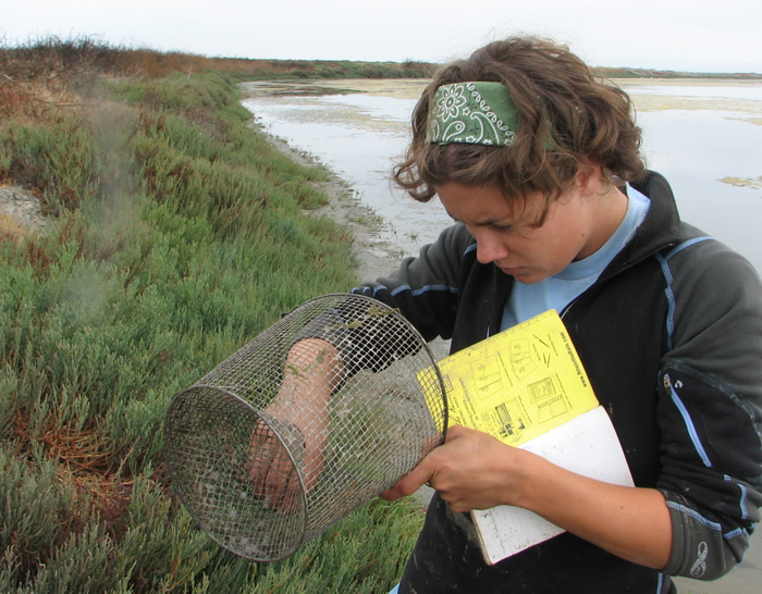
Provides quantitative field data to give more precise answers to management questions. Bioassessments of the health of a particular organism within a wetland are an example of a Level 3 assessment. Level 3 methods can be used to calibrate and validate Level 1 and Level 2 methods, and to test hypotheses about the causes of habitat conditions.
How is the tool kit used?
The toolkit is used differently based on the question asked about condition. For instance, in some cases it is important to characterize overall wetland condition within a landscape, watershed, or region, while in other situations a more localized assessment of the health of an individual restoration project is needed. Each agency with responsibility for wetland regulation or management can use the WRAMP tools in the context of their own programs and authorities. By using a common set of tools, information is more readily shared and compiled across all agencies and programs.
Viewing tool kit information
The California EcoAtlas is a web-based tool to integrate information across the three levels of information required by WRAMP and will serve as the user interface for WRAMP. You can use EcoAtlas to find wetlands near you, view wetland restoration project information, and view information captured through the 1-2-3 framework. Click the link to leave the My Water Quality Wetlands Portal and explore EcoAtlas.